



GeoVis Urbanismo
Zoning and planning data for any parcel in Spain by cadastral reference or address, with every figure cited to the official plan (document, article, page).
 View in the Claude registry
- Brand
- GeoVis
- Category
- Data & Analytics
- Primary Subcategory
- Commercial Real Estate Data
Integration details
Description
GeoVis Urbanismo reads each municipality's current land-use plan and answers what can be built on a parcel: land classification, zoning ordinance, permitted uses, buildable floor area, height, coverage and planning status. This connector lets Claude query that data for the user's company. What you can do: - Find a parcel from a street address, a building number or a place in Spain, and get its cadastral reference. - Get the zoning sheet (ficha urbanistica) of a parcel by its cadastral reference, whole or only the fields you need. - Search the parcels of a municipality by land class, zone, use, plot size or buildable area. - List the municipalities that are published and which ones your company can query. Every value comes with its source: a citation (document, article, page and a link to the official PDF at that page), a calculation with its inputs, or its origin. Fields with no data are returned as gaps with the literal reason instead of being filled in, and estimates are flagged as estimates. Only official sources are used. All tools are read-only. Sign-in uses the user's GeoVis account (OAuth 2.1 with PKCE and dynamic client registration). Each user only reaches the municipalities licensed to their company. Requires a GeoVis Urbanismo account with connector access; request it at https://www.geovis.es/urbanismo/acceso.
- Integration type
- Connector
- Verification status
 Community connector
- Platform
- Claude
- Primary Subcategory
- Commercial Real Estate Data
- Secondary Subcategories
- None listed
- Brand
- GeoVis
- Access
- Account required
- First tracked
- 2026-11-09
- Tool count
- 5
- Market
- US
The Primary Subcategory used for this profile’s headline score.
Other Subcategories where the Integration is listed.
 AgentDiscoClaude Discoverability Score
Claude Connector discovery is coming soon
Community Connectors only appear in Claude’s registry.Once verified, organic discovery begins and we can calculate your score.Read more about Community Connector verification.
No spam. Unsubscribe any time.
What discovery looks like
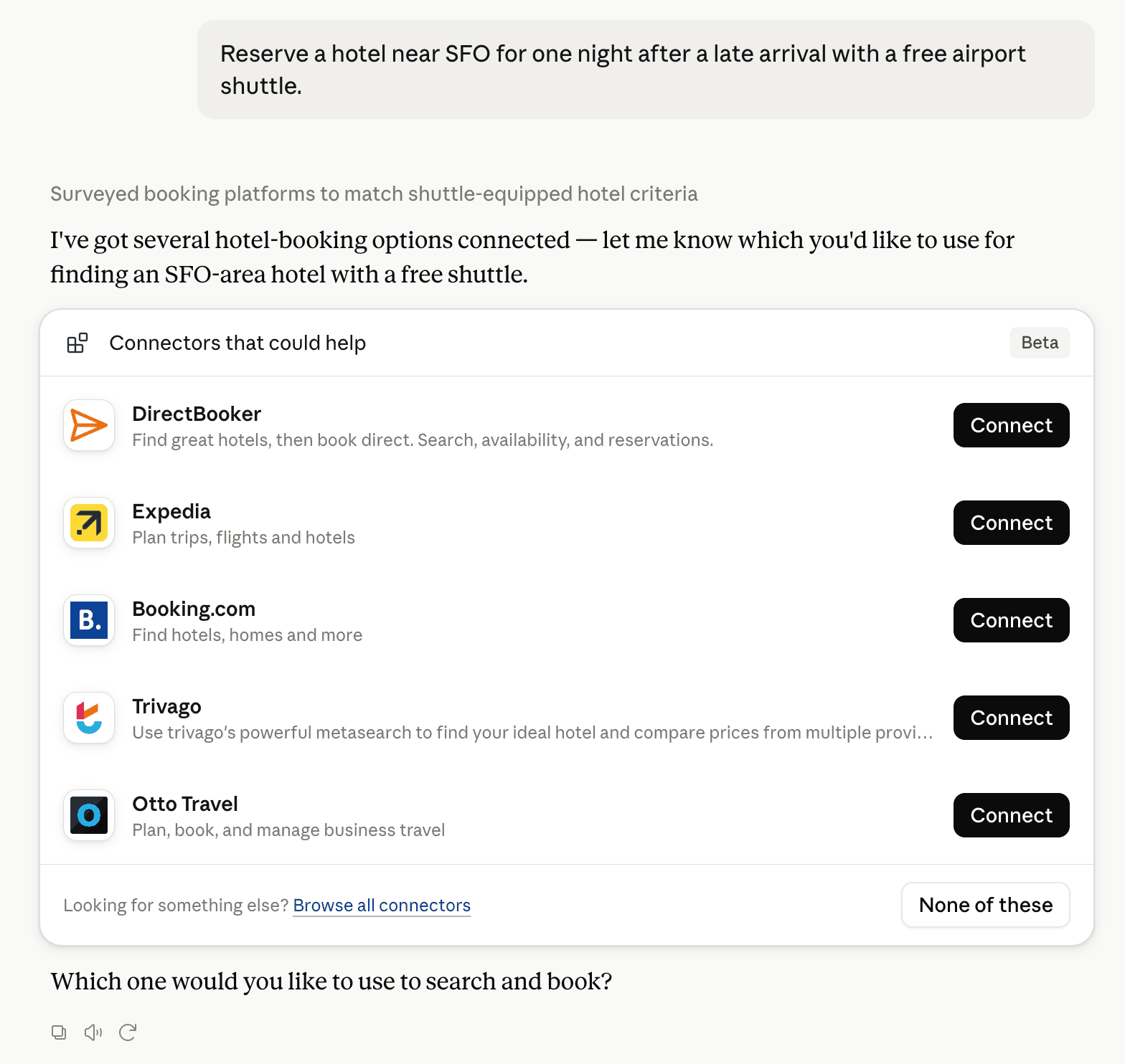
Claude can surface verified Connectors when they match a user’s Prompt.
How Claude Connector discovery works
Your Connector will compete to appear for users’ Prompts once Claude verifies it
Competing in Claude Commercial Real Estate Data
View Category5 tools agents can invoke

GeoVis Urbanismo Claude Connector FAQ
How the directory, categories and Discoverability Score work.
Read the methodologyHow do I improve GeoVis Urbanismo's Claude Connector discoverability?
The levers are the listing surface agents actually read: names, descriptions, keywords, tool metadata, and registry health. Which lever matters depends on where discovery breaks, which is what continuous measurement shows.
What are GeoVis Urbanismo alternatives on Claude?
As of 2026-11-10, GeoVis Urbanismo competes with TinyFish, Acquirepad Real Estate Intelligence, Apartmentiq, Atria - Site Intelligence, AveryGPT, Canvassed, Casafari Area Insights, citytracker.ai and 32 more in Claude Commercial Real Estate Data, ranked by public Discoverability Score.
Where is this profile measured?
This profile uses the geography attached to the latest public registry snapshot: US. Locale tags are intentionally omitted.