



GIS Cloud
Run your entire GIS workflow in plain language: maps, data, analysis, field apps, and reports
 View in the Claude registry
- Brand
- GIS Cloud
- Category
- Data & Analytics
- Primary Subcategory
- Geospatial & Spatial Analytics Data
Integration details
Description
GIS Cloud is an AI-native, cloud GIS platform. Instead of clicking through a desktop GIS, you describe what you want and Claude does it across your whole account, covering the full lifecycle from field data capture to maps, analysis, apps, and reports. The GIS Cloud MCP server lets Claude create and style maps and layers, add, edit, and query features, run spatial analysis and structured SQL over your data, build Mobile Data Collection forms for field teams, import files into PostGIS tables, manage tables, datasources, and bookmarks, render live interactive maps, and generate PDF and Excel reports. It works through a propose-confirm model, so you approve every write and destructive actions are clearly flagged, with account-scoped OAuth access. ISO 27001 certified, serving organizations in 60+ countries. Where GIS Cloud fits your workflow: In the field: "Create a Mobile Data Collection form for pothole inspections with severity, surface type, and photo fields, then bind it to a new layer so my crew can start collecting today." On the map: "Import this CSV of asset locations, put it on a new layer, and color the points by condition rating." Through analysis: "Find every parcel within 200 meters of the flood zone, then list the ten largest by area." End to end, in one ask: "Map last month's bridge inspections, flag anything rated poor, and generate a PDF report with the inspector photos and notes."
- Integration type
- Connector
- Verification status
 Verified connector
- Platform
- Claude
- Primary Subcategory
- Geospatial & Spatial Analytics Data
- Secondary Subcategories
- None listed
- Brand
- GIS Cloud
- Access
- Account required
- First tracked
- 2026-07-02
- Tool count
- 55
- Market
- US
The Primary Subcategory used for this profile’s headline score.
Other Subcategories where the Integration is listed.
 Agent DiscoverabilityClaude Discoverability Score
Your Claude Discoverability Score is being prepared
Claude can surface a verified Connector when it matches a user’s Prompt.We are preparing GIS Cloud’s Discoverability Score and will publish it when the benchmark is ready.
No spam. Unsubscribe any time.
What discovery looks like
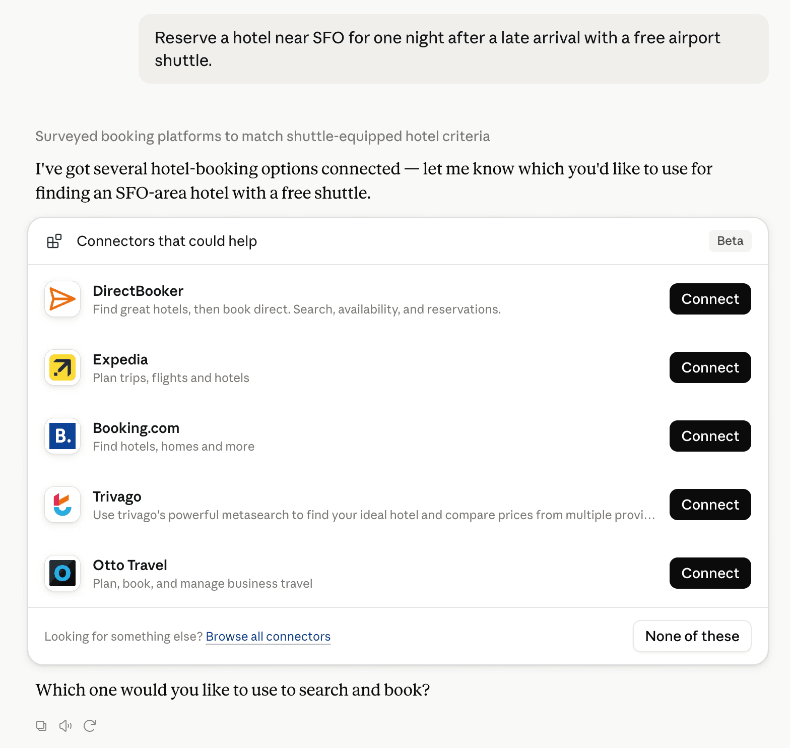
Claude can surface verified Connectors when they match a user’s Prompt.
Get alerts for GIS Cloud
Get updates when GIS Cloud’s Discoverability Score or category rank changes.
Competing in Claude Geospatial & Spatial Analytics Data
View Category55 tools agents can invoke

GIS Cloud Claude Connector FAQ
How the directory, categories and Discoverability Score work.
Read the methodologyHow do I improve GIS Cloud's Claude Connector discoverability?
The levers are the listing surface agents actually read: names, descriptions, keywords, tool metadata, and registry health. Which lever matters depends on where discovery breaks, which is what continuous measurement shows.
What are GIS Cloud alternatives on Claude?
As of 2026-11-04, GIS Cloud competes with Alloy Robotics, Aviation MCP, barocline, BigGeo AI, Biohotspot, Birdi, CDXGeoStream, ExplorationMaps and 38 more in Claude Geospatial & Spatial Analytics Data, ranked by public Discoverability Score.
Where is this profile measured?
This profile uses the geography attached to the latest public registry snapshot: US. Locale tags are intentionally omitted.