
GeoInsight
Query GeoInsight’s geospatial data for any place on Earth: ready-made insights like NDVI and burn scars, satellite imagery and ~1,000 data collections on a global grid.
 View in the Claude registry
- Brand
- GeoInsight
- Category
- Data & Analytics
- Primary Subcategory
- Geospatial & Spatial Analytics Data
Integration details
Description
GeoInsight organises Earth observation and geospatial data on a Discrete Global Grid System (DGGS): equal-area zones covering the whole planet, so data from different sources lines up zone by zone and can be compared directly. This connector lets Claude answer questions about places by reading that grid. Ask about a city, a region, a field or a coordinate, and Claude can: Compute insights such as vegetation health (NDVI) or burn scar analysis for a point or an area, with zone levels picked to suit the size of the place and the resolution of the data. Explore around 1,000 data collections, including Sentinel-2 satellite imagery, elevation and administrative boundaries, and find which ones have data at a given place. Read raw values from one or more collections and join them, for example elevation alongside a region’s name. Calculate its own indices, like ratios, differences or band formulas, when no ready-made insight fits. GeoInsight evaluates the formula for each zone. Move around the grid to find the zones covering a place, and their parents, children and neighbours. Every tool only reads data. Nothing in your GeoInsight account is created, changed or deleted. You need a GeoInsight account to connect. You’ll sign in with it when you add the connector, and Claude then sees only the data your account can access.
- Integration type
- Connector
- Verification status
 Community connector
- Platform
- Claude
- Primary Subcategory
- Geospatial & Spatial Analytics Data
- Secondary Subcategories
- None listed
- Brand
- GeoInsight
- Access
- Account required
- First tracked
- 2026-11-18
- Tool count
- 7
- Market
- US
The Primary Subcategory used for this profile’s headline score.
Other Subcategories where the Integration is listed.
 AgentDiscoClaude Discoverability Score
Claude Connector discovery is coming soon
Community Connectors only appear in Claude’s registry.Once verified, organic discovery begins and we can calculate your score.Read more about Community Connector verification.
No spam. Unsubscribe any time.
What discovery looks like
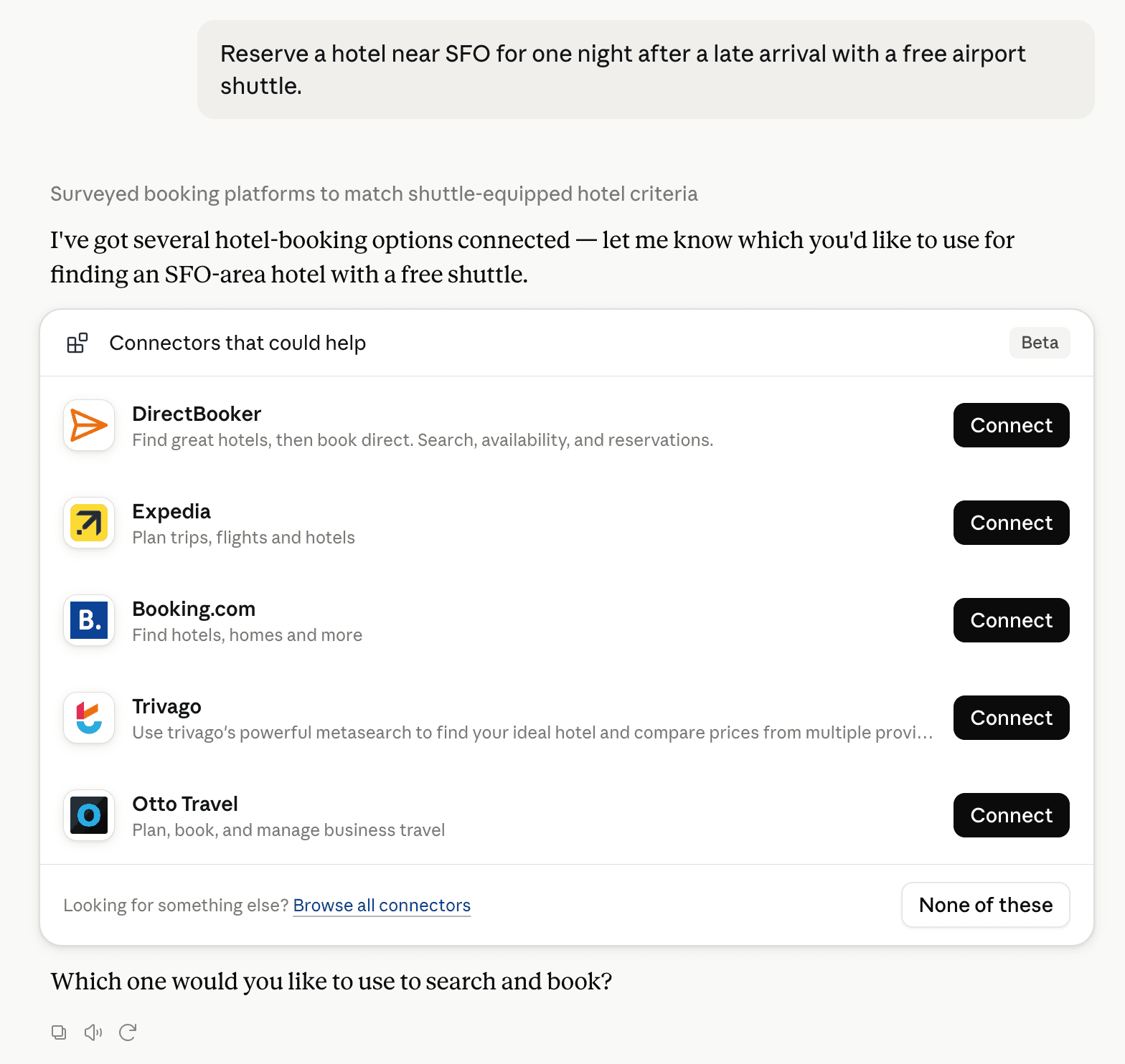
Claude can surface verified Connectors when they match a user’s Prompt.
How Claude Connector discovery works
Your Connector will compete to appear for users’ Prompts once Claude verifies it
Competing in Claude Geospatial & Spatial Analytics Data
View Category7 tools agents can invoke

GeoInsight Claude Connector FAQ
How the directory, categories and Discoverability Score work.
Read the methodologyHow do I improve GeoInsight's Claude Connector discoverability?
The levers are the listing surface agents actually read: names, descriptions, keywords, tool metadata, and registry health. Which lever matters depends on where discovery breaks, which is what continuous measurement shows.
What are GeoInsight alternatives on Claude?
As of 2026-11-19, GeoInsight competes with Alloy Robotics, Aviation MCP, barocline, BigGeo AI, Biohotspot, Birdi, BowMaps, DaedalMap Geographic Tools and 39 more in Claude Geospatial & Spatial Analytics Data, ranked by public Discoverability Score.
Where is this profile measured?
This profile uses the geography attached to the latest public registry snapshot: US. Locale tags are intentionally omitted.